Preserving Coastal Ecosystems
Welcome to the website of the Marine and Coastal Areas Management in North and West Africa (MarCNoWA) project under the GMES and Africa Programme Phase II.
The project seeks to provide decision-makers in North and West Africa with Earth Observation (EO) information and tools that would support effective marine and coastal resource management. We provide operational EO services to 18 coastal countries.

The MarCNoWA project focuses on delivering six (6) Earth observation (EO) services on coastal and marine environments and fisheries:
Provision of potential fishing zone charts overlaid with vessel traffic,
Monitoring and forecasting oceanography variables,
Forecast of ocean conditions,
Oil spill monitoring,
Generation of coastal vulnerability indices, and
Mapping of coastal habitats

Protecting Marine and Coastal Resources
Our Services
-

Monitoring and Forecasting of Oceanographic Variables
Biological and physical oceanographic variables from satellite measurements are provided to fisheries scientists, oceanographers and marine resource management enthusiasts as part of the ocean monitoring service.
-

Forecast of Ocean State and Weather Conditions
Information on ocean waves, currents, winds and sea surface heights is very important to ocean farers for effective navigation and safety at sea. Ocean state products provide information to users about their safety at sea and help plan on the safest routes and times of embarkation.
-

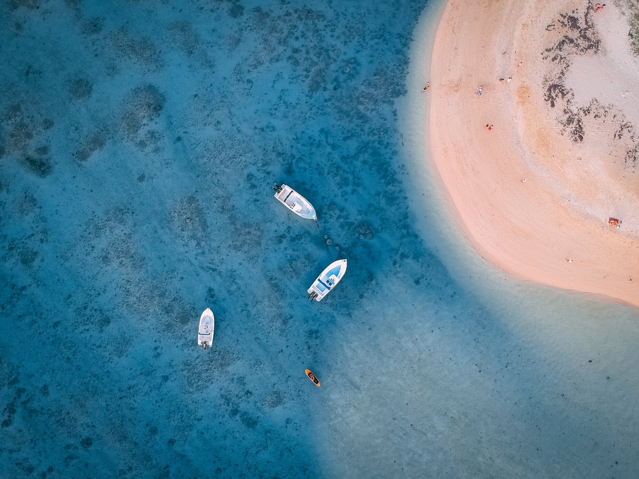
Mapping of Potential Fishing Zones (PFZs)
Sea surface temperature and ocean colour products are useful for monitoring conditions that affect fish distribution. Ocean colour products including Chl-a data provide measurements of phytoplankton abundance.
-

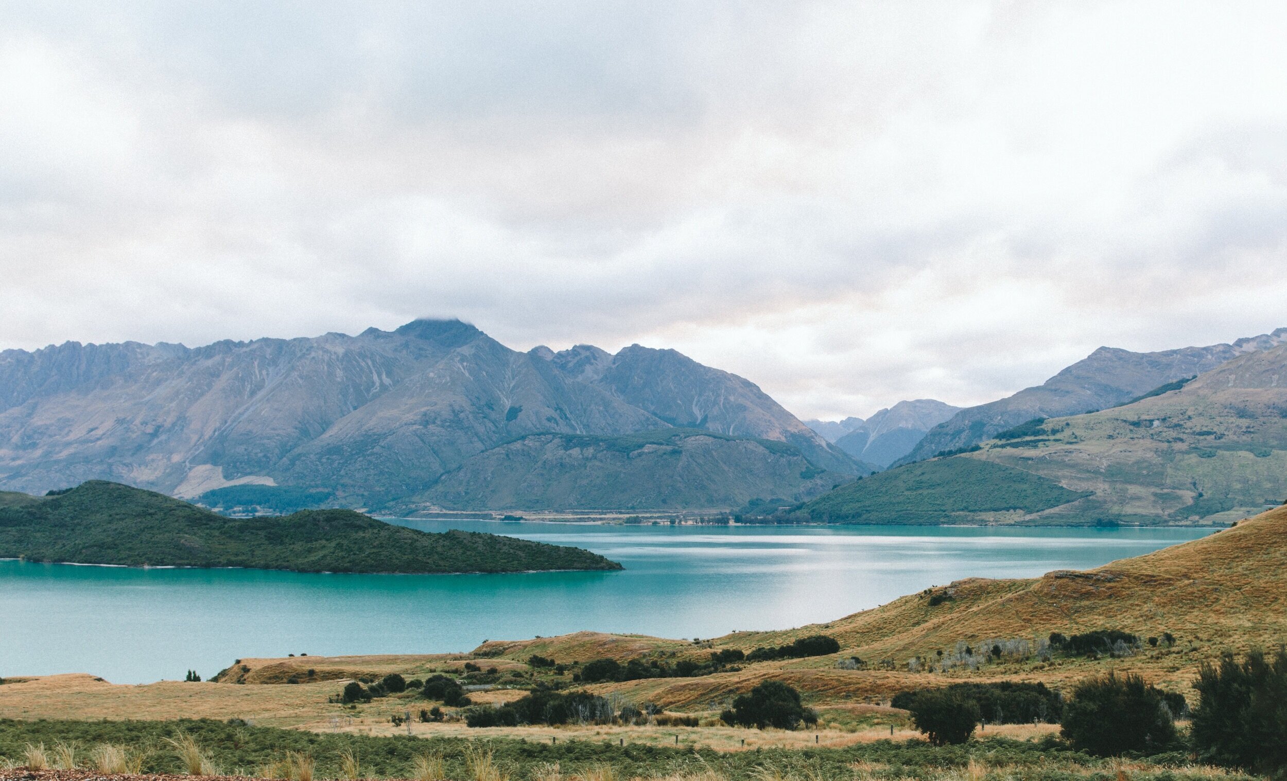
Coastal Ecosystems Mapping and Monitoring
Sensitive coastal systems such as wetlands, estuaries, lagoons and mangroves are dotted along the coast of North and West Africa. These ecosystems are being monitored using EO data and other image processing tools.
-

Coastal vulnerability mapping
Inputs covering the ocean's physical dynamics, the coast's geomorphology, the socio-economic information of the fringing communities and other physical human interventions to measure the resilience and susceptibility of the coastal environment.
-
Oil spill monitoring and warning
Threats from vessel operations in North and West Africa remain imminent due to the increasing use of the oceans' seaports and harbours as exchange points in the trade of goods and services. The two regions are widely being explored for fossil fuels.


Protecting fishing grounds
Our Activities
-

Improved Policy and institutional framework
The project provides an opportunity for the uptake of EO data, developing EO services, and formulating similar strategies that fit the different national institutions benefiting from the initiative.
-

Earth Observation Data Access
Access to marine environmental data is key to assessing changes resulting from the impact of natural and human activities in marine and coastal ecosystems.
-
Earth Observation Services
This Work Package is being implemented by making operational various EO services that will contribute to the achievement of the UN Sustainable Development Goals.
-

Capacity building
Capacity development remains an important aspect of sustaining EO technology uptake in Africa. Private sector involvement in capacity building is encouraged through knowledge transfer activities and collaborative engagements.
-
Knowledge management & Cross-fertilisation
Skills acquisitions and knowledge transfer is being facilitated among consortia to ensure that service development is enhanced.
-

Outreach, uptake and dissemination
Our approach is to co-create and evolve our communication strategy with our stakeholders, holding public engagement events with stakeholders/end users.